| Elephantine | |||||||
|---|---|---|---|---|---|---|---|
| Ancient Egyptian: Abu | |||||||
"Elephant" | |||||||
| Location | Elephantine Island | ||||||
| Coordinates | 24.09°N 32.89°E | ||||||
| Region | Upper Egypt | ||||||
| Nome | Ta-Seti | ||||||
| Main deities | Khnum, Hapi, Anoukis, Satis-Sothis | ||||||
| Monuments | Temple of Khnum Temple of Satis Granite quarry | ||||||
Elephantine, or Abu in ancient Egyptian (transliteration: Ꜣbw, meaning: "Elephant"), is an island on the Nile, currently forming part of the modern city of Aswan in Upper Egypt. The main city of Aswan at the east bank of the Nile (opposite of Elephantine) was in ancient times a separate town called Syene. The island of Elephantine and its fortified town functioned as the capital of Ta-Seti, the first nome of Upper Egypt.[1]
The archaeological sites on the island were inscribed on the UNESCO World Heritage List in 1979 along with other examples of Upper Egyptian architecture including Abu Simbel and Philae.[2]
To the ancient Egyptian Elephantine was known as ꜣbw ("Elephant"). The island may have received its name after its shape, which in aerial views is similar to that of an elephant tusk, or from the rounded rocks along the banks resembling elephants.[citation needed]
Geography[]
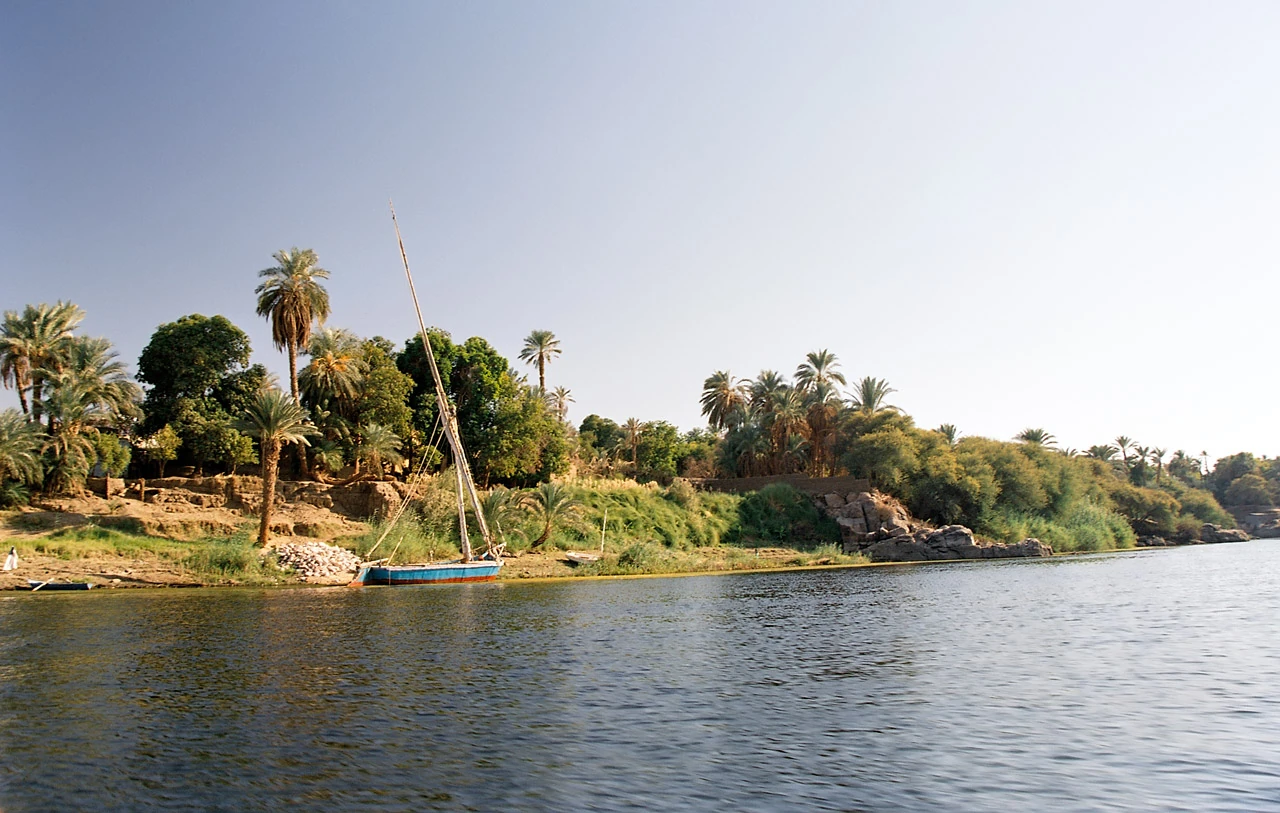
Elephantine is 1,200 metres (3,900 ft) from north to south, and is 400 metres (1,300 ft) across at its widest point.[citation needed] The layout of this and other nearby islands in Aswan can be seen from west bank hillsides along the Nile. The island is located just downstream of the First Cataract, the southern natural border of Upper Egypt with Lower Nubia. It was therefore an excellent defensive site and a cargo transfer point for river trade.
See also[]
References[]
- ↑ Baines & Malek 1980, p. 72.
- ↑ "Nubian Monuments from Abu Simbel to Philae". UNESCO World Heritage Centre. United Nations Educational, Scientific, and Cultural Organization. Retrieved 7 September 2021.
Bibliography[]
- Baines, J./Malek, J., 1980: Atlas of Ancient Egypt. Equinox (Oxford), Ltd.